Quiet Maps: Unterschied zwischen den Versionen
Aus Geoinformation HSR
HTan (Diskussion | Beiträge) |
HTan (Diskussion | Beiträge) |
||
| Zeile 2: | Zeile 2: | ||
Quiet Maps: | Quiet Maps: | ||
| − | [[Datei:Quiet map1. | + | [[Datei:Quiet map1.png|thumb|right|alt=TileMill Screenshot]] |
| + | [[Datei:Quiet map.png|thumb|right|alt=TileMill Screenshot]] | ||
* A muted, open-source base layer about Southern California by the Los Angeles Times Data Desk: [http://datadesk.github.io/osm-quiet-la/#9/34.0500/-118.6000 Quiet L.A.] See [[Making Maps from OpenStreetMap Data]]. | * A muted, open-source base layer about Southern California by the Los Angeles Times Data Desk: [http://datadesk.github.io/osm-quiet-la/#9/34.0500/-118.6000 Quiet L.A.] See [[Making Maps from OpenStreetMap Data]]. | ||
Version vom 28. Mai 2014, 15:46 Uhr
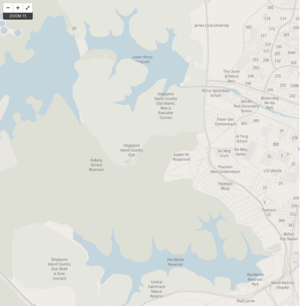
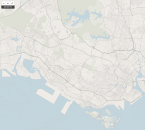
This page tries to collect information about maps visualized in quiet style. It is designed to serve as a muted backdrop for overlaying data visualizations. The goal of a Quiet Map is to remove extraneous detail, but retain enough information for the region to remain recognizable.
Quiet Maps:
- A muted, open-source base layer about Southern California by the Los Angeles Times Data Desk: Quiet L.A. See Making Maps from OpenStreetMap Data.
QGIS
Showcases and Tipps:
- TileMill:
- Blog "Introducing Quiet L.A." [1]
- https://github.com/datadesk/osm-quiet-la

